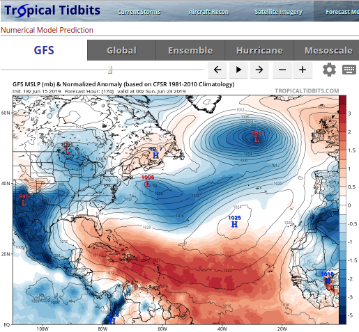
One of my favorite long-range hurricane weather forecasting sites is Levi Cowan’s TropicalTidbits.com. He creates an amazing site featuring the best hurricane models and maps. The featured image for this post is from his site, and it shows the Global Forecast System (GFS).
The GFS is created by the United States’ National Weather Service on it’s massive super computer.
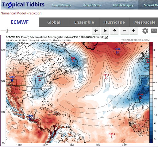
Levi uses a number of other top models in his forecasts, because they all have strengths and weaknesses. Predicting hurricanes is not 100% exact by any means. One of the best models is the European Centre for Medium-Range Weather Forecasts (ECMWF). Here is a map from Tropical Tidbits showing the ECMWF. You will notice it has a play button. These models are basically snapshots in time over a period of many days, so you can play time forward into the future and watch low pressure areas form, move, and dissipate. These are what can potentially become tropical depressions, storms, and hurricanes.

One of the best parts of Levi’s website are his blog posts which have fascinating YouTube videos. He only does these when there is a storm system worthy of tracking. Even if you aren’t a weather guru, Levi explains what all the major models are saying might happen and way, plus he gives his best projection as well.
Of course, always check the National Hurricane Center for the official forecasts. But honestly, I always follow TropicalTidbits.com to help me understand the backstory behind the forecasts.
