Tropical Scan 
Check the NHC forecasts for the latest tropical information. Stay prepared and safe.
Atlantic + Gulf
Here are some of the most important maps and resources from the National Hurricane Center (NHC), located in Miami Florida. The NHC maintains a continuous watch on tropical cyclones and areas of disturbed weather within the North Atlantic and eastern North Pacific basins. It issues coastal tropical cyclone watches and warnings for the United States and its Caribbean territories and others.
NHC 5 Day Graphical Outlook Map

NHC 2 Day Graphical Outlook Map

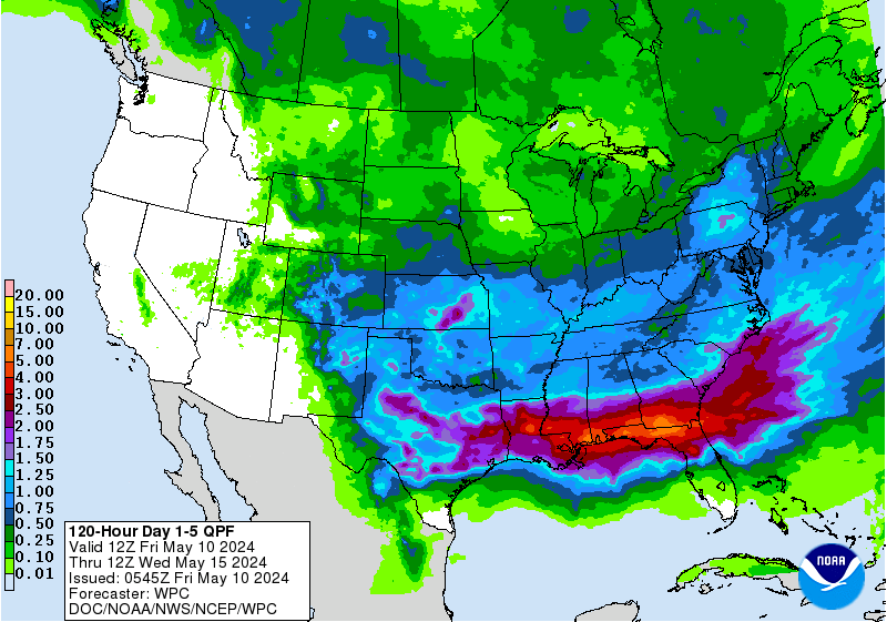
NOAA 5 Day Rain Forecast Map

Atlantic Advisories
These feeds are from the NHC and provide official forecasts, watches and warnings. You can click on the title links to read the official sources.
- No tropical cyclones as of Thu, 21 Nov 2024 08:38:52 GMT
- 000 ABNT20 KNHC 210503 TWOAT Tropical Weather Outlook NWS National Hurricane Center Miami FL 100 AM EST Thu Nov 21 2024 For the North Atlantic…Caribbean Sea and the Gulf of Mexico: Tropical cyclone formation is not expected during the next 7 days. $$ Forecaster Berg
Eastern Pacific
The following cover storms along the west coast of Mexico and Baja California. These storms can sometimes move west to move towards Hawaii (see Central Pacific).
5 Day Outlook Map

2 Day Outlook Map

E. Pacific Advisories
These feeds are from the NHC and provide official forecasts, watches and warnings. You can click on the title links to read the official sources.
- No tropical cyclones as of Thu, 21 Nov 2024 08:38:52 GMT
- 000 ABPZ20 KNHC 210502 TWOEP Tropical Weather Outlook NWS National Hurricane Center Miami FL 1000 PM PST Wed Nov 20 2024 For the eastern North Pacific…east of 140 degrees west longitude: Tropical cyclone formation is not expected during the next 7 days. $$ Forecaster Berg
Central Pacific
The following maps are from the Central Pacific Hurricane Center (CPHC), co-located with the National Weather Service Forecast Office, in Honolulu Hawaii. According to the CPHC, it “issues tropical cyclone warnings, watches, advisories, discussions, and statements for tropical cyclones between 140 Degrees West Longitude to the International Dateline”. If you live in or travel to Hawaii, this is the area to watch.
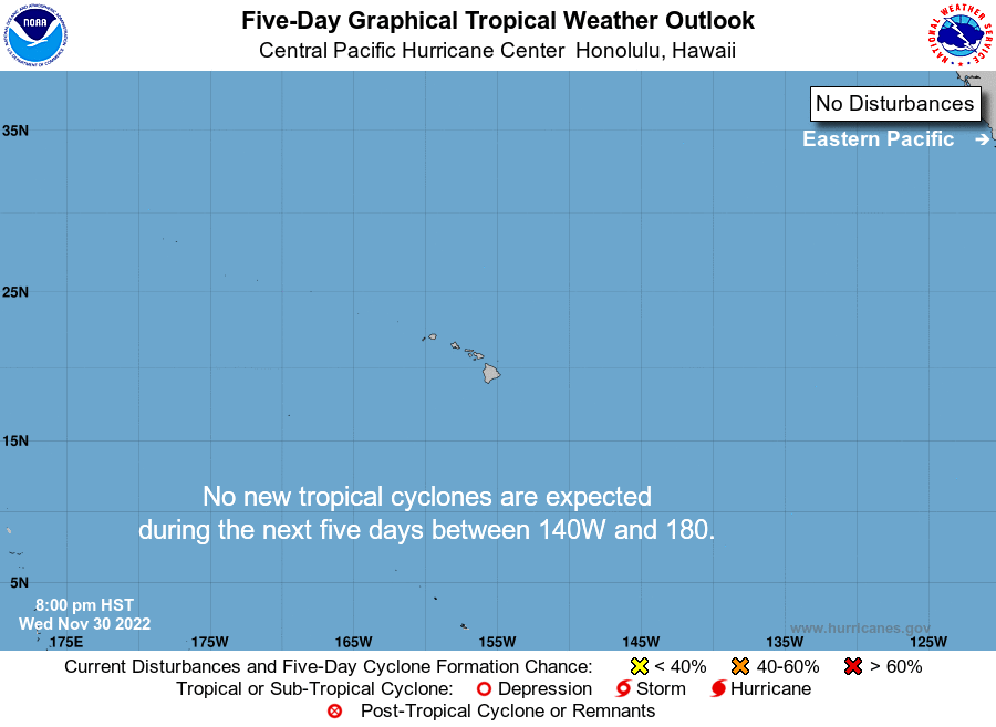
5 Day Outlook Map

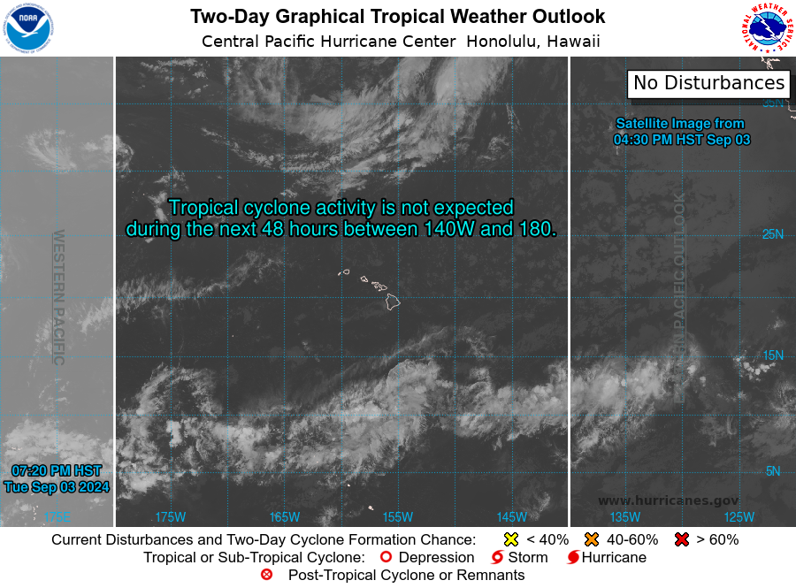
2 Day Outlook Map

C. Pacific Advisories
These feeds are from the CPHC/NHC and provide official forecasts, watches and warnings. You can click on the title links to read the official sources.
- No tropical cyclones as of Thu, 21 Nov 2024 08:38:52 GMT
- 000 ACPN50 PHFO 071137 TWOCP Tropical Weather Outlook NWS Central Pacific Hurricane Center Honolulu HI 200 AM HST Thu Nov 7 2024 For the central North Pacific…between 140W and 180W: No tropical cyclones are expected during the next 7 days. $$ Forecaster Jelsema
2019 Hurricane Season
The hurricane season officially starts June 1st and ends on November 30th, but tropical storms can form at any time if conditions are right. Climate change is basically extending the season. However, about 95 percent of storms are produced during the two-and-a-half months of the season’s peak, from mid-August to late October.

2019 Storm Names
The National Hurricane Center issues lists of names for Atlantic and Eastern/Central Pacific storms. Below are the 2019 list, which I am redacting as they happen.
Atlantic Names
Andrea– formed May 20th and went to sea.-
Barry– formed TS on July 11, hit Louisiana as Hurricane. -
Chantal - Dorian
- Erin
- Fernand
- Gabrielle
- Humberto
- Imelda
- Jerry
- Karen
- Lorenzo
- Melissa
- Nestor
- Olga
- Pablo
- Rebekah
- Sebastien
- Tanya
- Van
- Wendy
Pacific Names
Alvin-
Barbara -
Cosme -
Dalila -
Erick -
Flossie -
Gil -
Henriette - Ivo
- Juliette
- Kiko
- Lorena
- Mario
- Narda
- Octave
- Priscilla
- Raymond
- Sonia
- Tico
- Velma
- Wallis
- Xina
- York
- Zelda
My FAV Weather Sites
I am listing the links that I visit the most often to get the latest tropical weather information and forecasts. You should watch your local weather forecasters as well to stay alert to specific threats to your location. The sites below are giving you the larger picture. Hurricanes and tropical storms are giant weather systems, but they can reach down to create very specific local damage.
National Hurricane Center – Official forecasts
Tropical Tidbits blog (and videos) – Levi Cowen explains the global and big picture weather patterns and fronts that steer these massive storms. This is actually very calming, as he doesn’t hype up what is happening. He posts to the blog and also has great videos explaining active tropical forecasts on his Tropical Tidbits YouTube channel as well.
Mike’s Weather Page – This website packs a tremendous amount of tropical weather maps, satellite imagery, and radar data. Mike is also from Florida, though we have not yet met. I follow his blog almost every day.
South Florida Water Management District model map – other high quality maps
Tropicals Tidbits GFS model – map is in a player to show potential paths of storms
Tropical Tidbits ECMWF model – map of this top European model also in a player
NASA Hurricane & Typhoon Blog – A scientific spin on the latest storms. No Hype. Often has the latest in remote sensing.
[ycd_countdown id=”388″][/ycd_countdown]
Your Safety is #1
When you ask “How do I prepare for Hurricane _______?” or “What do I do to prepare for Tropical Storm _______?”, we hope to help you by providing educational and information resources. Your safety is of paramount importance, so please always consult with official, expert forecasts and follow all your local warning, watches, and guidance.